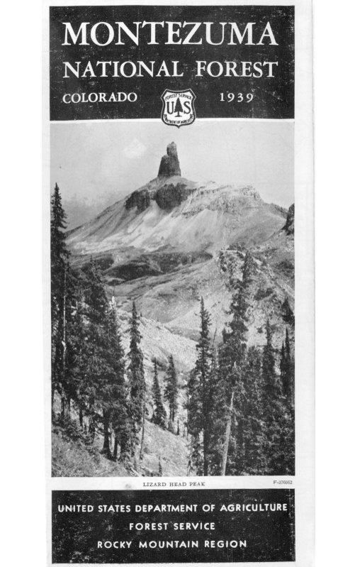
MONTEZUMA
NATIONAL FOREST
COLORADO 1939
F-376802
LIZARD HEAD PEAK
UNITED STATES DEPARTMENT OF AGRICULTURE
FOREST SERVICE
ROCKY MOUNTAIN REGION
The Montezuma National Forest
THE MONTEZUMA NATIONAL FOREST wasestablished by proclamation of President TheodoreRoosevelt on June 15, 1905. Its gross area is 837,228acres, of which 737,440 acres are Government land.
F-376865
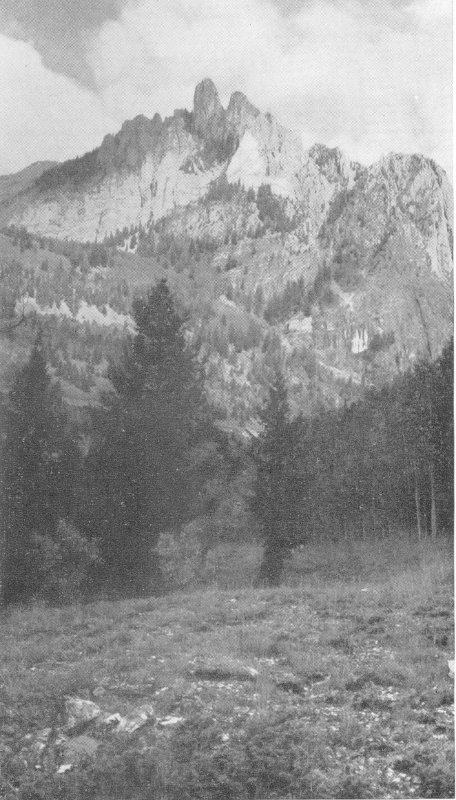
OPHIR NEEDLES
The topography of the forest varies from the extremelyrugged San Miguel Range in the north and the rough3but slightly lower La Plata Range on the east, to thehigh mesas of the southwestern part. The DoloresRiver flows southwest through the eastern part of theforest. Near the town of Dolores the river makes anabrupt turn to the north, and the west boundary of theforest follows to a greater or less degree the DoloresRiver Valley. Throughout the forest innumerablestreams and canyons lead down from the San Migueland La Plata Ranges and the Dolores Plateau.
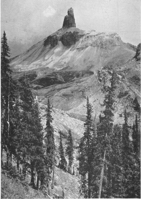
The San Miguel Range extends westward through thenorth end of the forest. Lizard Head Peak (13,156 feet),Sunshine Mountain, Lone Cone, Wilson, and DoloresPeaks, and Mount Wilson (14,250 feet) are outstandingtopographical features.
MONTEZUMA—KING OF MEXICO
Montezuma was the ninth king of Mexico and apowerful general of the Aztec tribes. When HernandoCortez conquered Mexico in the early part of the sixteenthcentury, Montezuma was the dominant war chiefof the Western Hemisphere and was held in fear by othertribes. He tried, however, to avoid war with theSpaniards and welcomed them to the capitol. Cortez,having thus obtained an advantage, held Montezumaand the city captive. In the succeeding battles, Montezumawas killed by his own people.
The name has retained historically romantic significanceand occurs frequently throughout the Southwest.It is appropriate for this forest where most of the namesand many of the customs are of Spanish origin.
EARLY HISTORY OF THE AREA
Spanish traders and explorers made frequent trips intosouthern Colorado during the eighteenth century.Those of record were led by Capt. Juan Marie de Rivera,in 1765, and Padre Francisco Escalante, in 1776. Eachparty followed approximately the same route fromSanta Fe to the San Juan Basin, westward to the MancosRiver, thence northward across the forest through theDolores and San Miguel Valleys to the vicinity of thepresent town of Placerville. From this point theycrossed the Dallas Divide to the Uncompahgre andGunnison Valleys. De Rivera’s route beyond thatpoint is unrecorded. Escalante continued through4Colorado, Utah, Arizona, and New Mexico to Santa Fe.
...