THE GEOLOGY OF
D.A.R. STATE PARK
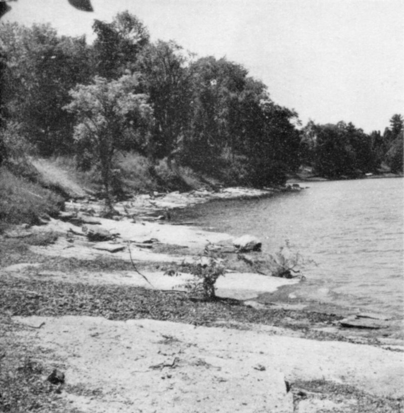
Shoreline at D.A.R. State Park looking south.
MT. PHILO STATE FOREST PARK
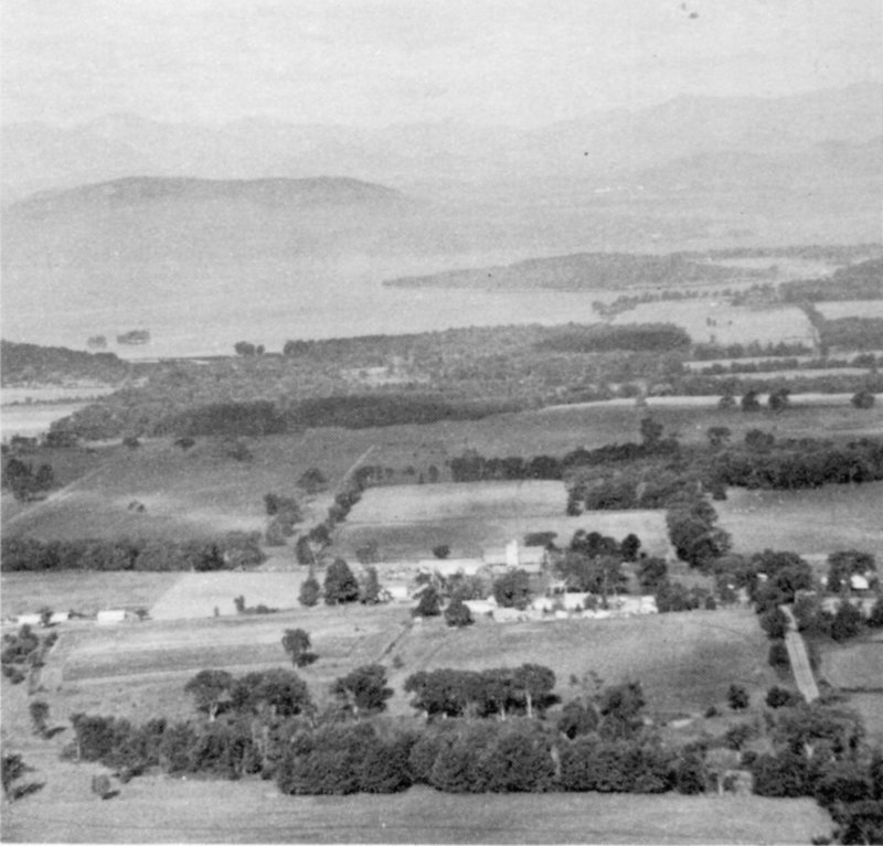
Panoramic view from west overlook on Mt. Philo. Adirondack Mountainsin background. Lake Champlain and Champlain Lowlands in foreground.
SAND BAR STATE PARK
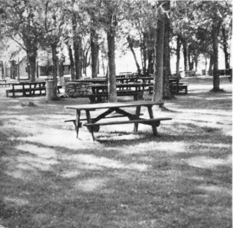
Sand Bar State Park on flat surface of Lamoille River delta. A part ofextensive picnic area looking northwest.
THE GEOLOGY OF
D.A.R. STATE PARK
MT. PHILO STATE FOREST PARK
SAND BAR STATE PARK
By
HARRY W. DODGE, JR.
VERMONT GEOLOGICAL SURVEY
CHARLES G. DOLL, State Geologist
DEPARTMENT OF FORESTS AND PARKS
ROBERT B. WILLIAMS, Commissioner
DEPARTMENT OF WATER RESOURCES
Montpelier, Vermont
1969
Fig. 1. Index Map.
- SANDBAR STATE PARK
- MT. PHILO STATE PARK
- BUTTON BAY STATE PARK
- D.A.R. STATE PARK
- LAKE CHAMPLAIN
- Milton
- Burlington
- Shelburne Falls
- Hinesburg
- Vergennes
- Bristol
- Port Henry
- Champlain Bridge
- Middlebury
- Crown Point
- Shoreham
- INDEX MAP
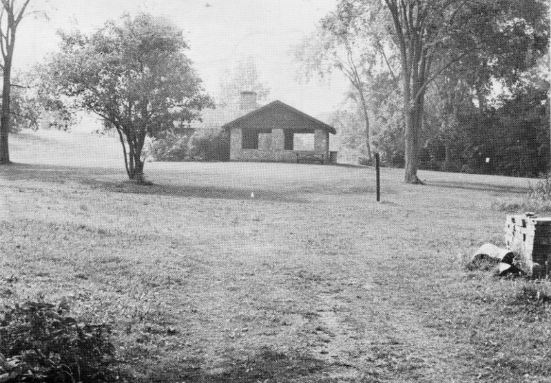
Fig. 1a. Surface of marine terrace at D.A.R. State Park. Immediately to theleft of shelter the land rises to a second terrace.
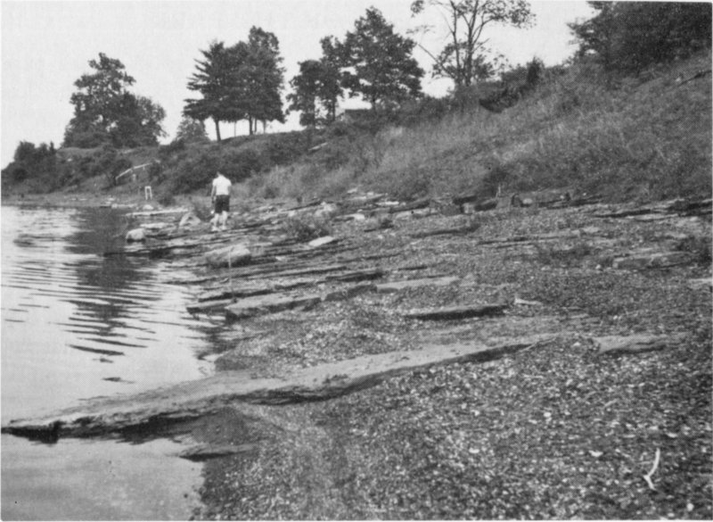
Fig. 2. View northwest along park beach. Illustrates dip of rocks toward northwest;strike, northeast.
THE GEOLOGY OF D.A.R. STATE PARK
INTRODUCTION
D.A.R. State Park is located in western Vermont on State Highway17, approximately 1 mile north of Lake Champlain (toll) Bridge (seemap, Fig. 1). The park, which fronts on Lake Champlain, contains undevelopedacres on the east side of the Highway. Tenting, leanto camping,picnicking and swimming are adequately provided for during thesummer months.
This park, more than most others, not o