
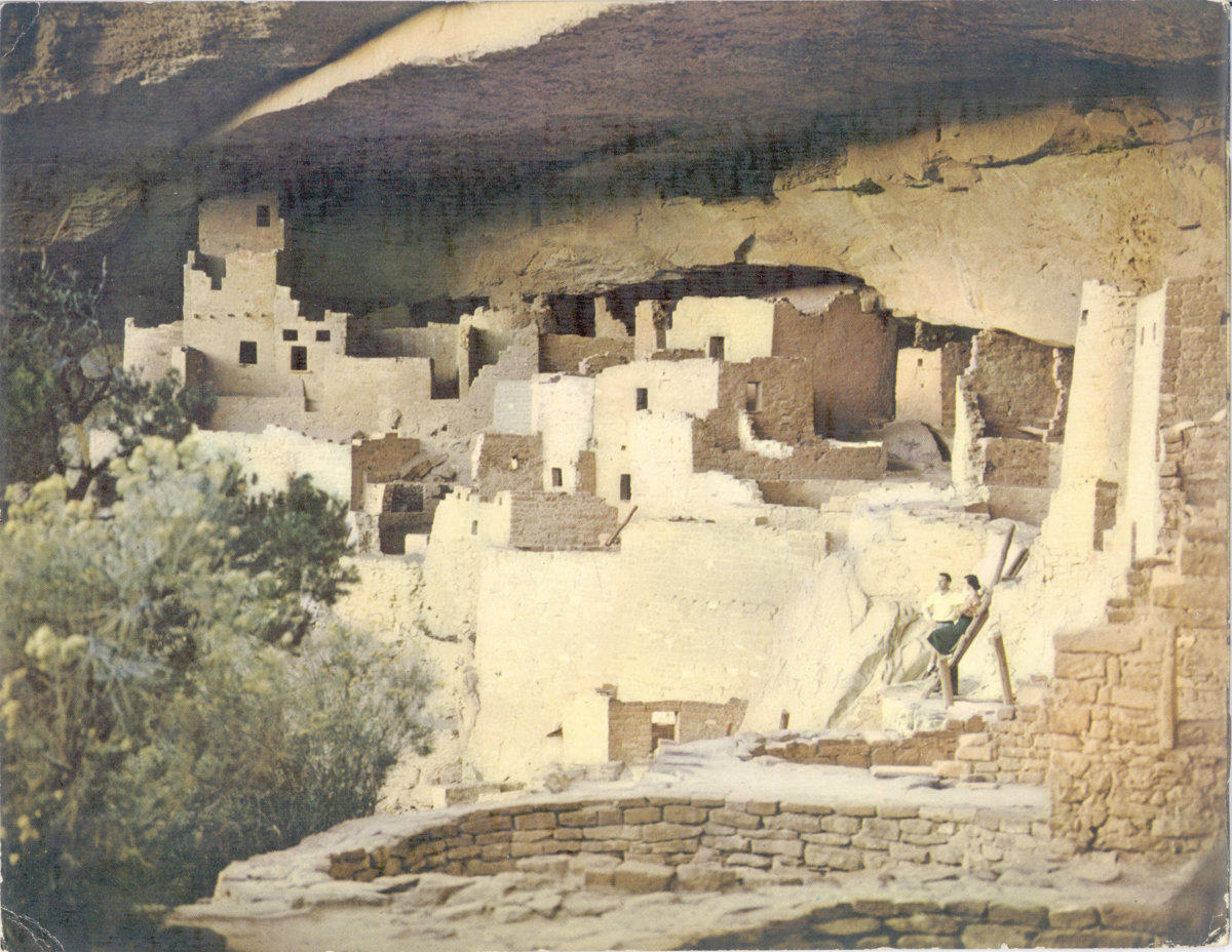
MESA VERDE NATIONAL PARK
A PICTORIAL GUIDE
PHOTOGRAPHY AND TEXT BY—ANSEL F. HALL
MAPS—SKETCHES BY DELLA TAYLOR HOSS & MERRIE HALL WINKLER
DESIGNED AND COPYRIGHTED BY ANSEL F. HALL
PUBLISHED BY MESA VERDE CO., MESA VERDE NATIONAL PARK, COLORADO
A MIRRO-KROME ® PRODUCT LITHOGRAPHED BY H. S. CROCKER CO., INC., SAN FRANCISCO, CALIF.
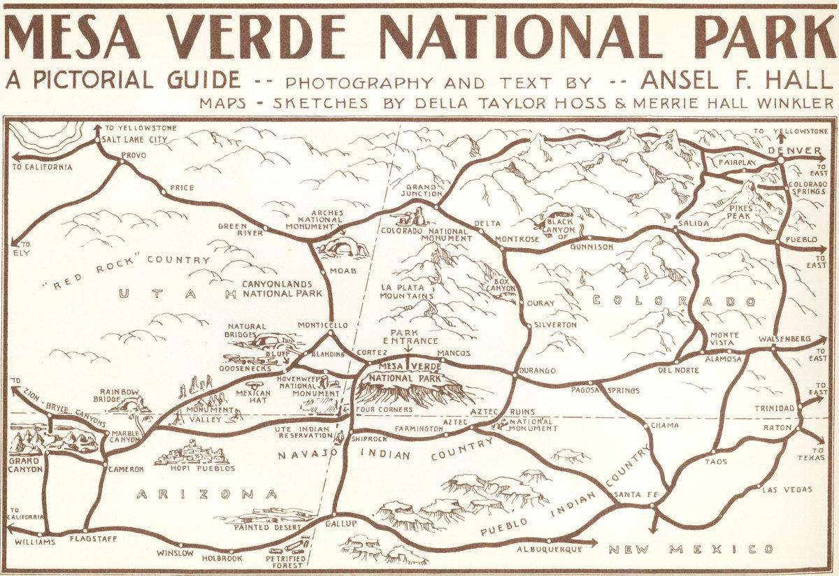
PICTURE MAP OF MESA VERDE AND THE “FOUR-CORNERS COUNTRY” OF THE SOUTHERN ROCKIES
(Get detailed road map from any service station.)
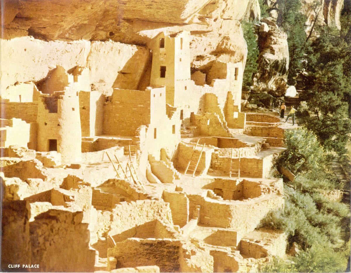
CLIFF PALACE
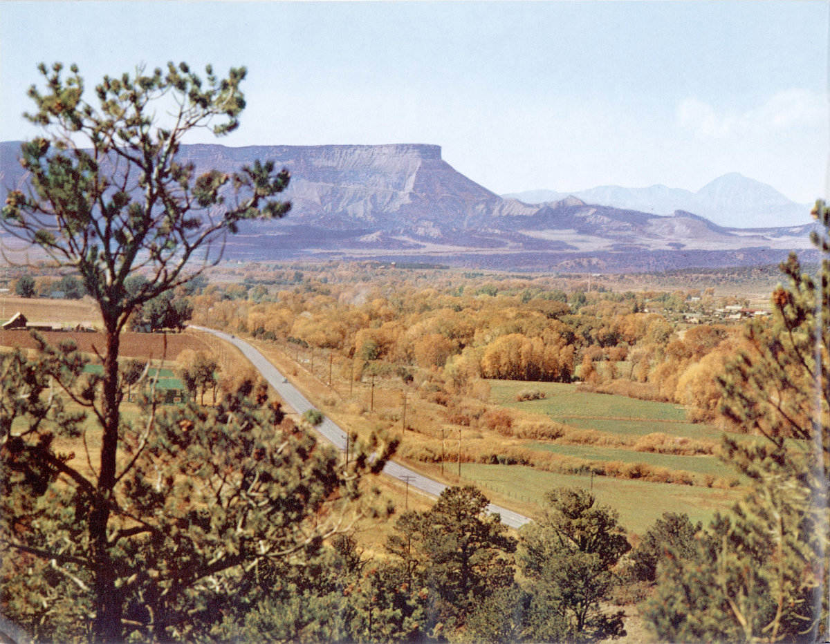
MESA VERDE—the “green tableland”rises 1,500 feet above the Mancos Valley,here seen in its colorful October foliage.In the foreground, Highway 160 bearswestward to the pioneer town of Mancos,1 mile distant, and to the Park Entrance,8 miles farther, just below thedistant bulk of Ute Mountain. Beneaththe bold promontory of Point Lookoutthe Park Entrance Highway can be seenclimbing to the top of Mesa Verde.
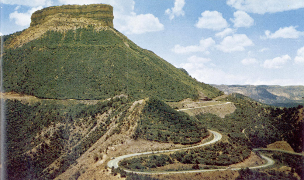
THE PARK ENTRANCE HIGHWAY,paved and engineered for high-gear travel,begins its tortuous climb beneath Point Lookoutshortly after branching south from Highway 160.
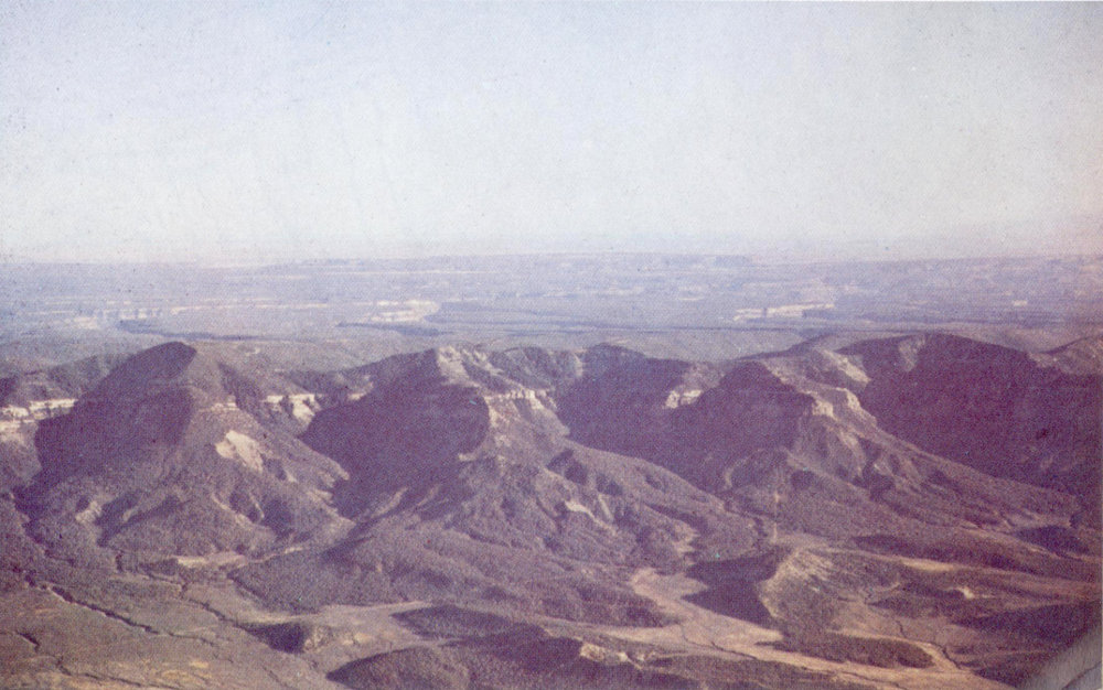
MESA VERDE—NORTH ESCARPMENTAir view of the “Green Table” not possiblewhen named by Escalante in 1776.
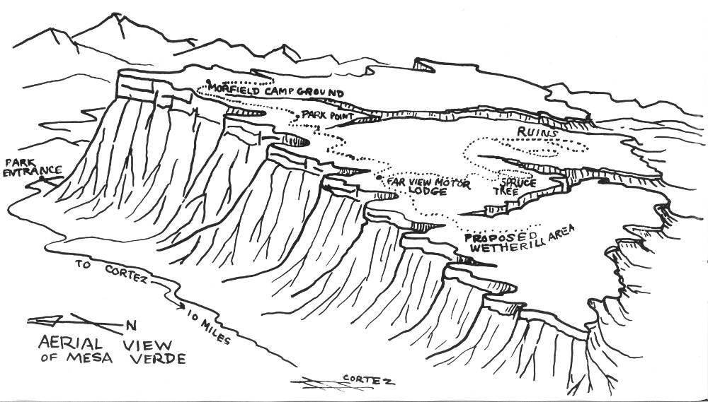
AERIAL VIEW OF MESA VERDE
ENTERING THE PARK: Entering Mesa Verde is a breathtaking experience. Spectacular views confront the visitor asthe road ascends for 5 miles to a high valley. This valley is an important activity center—the MORFIELD CAMPGROUND-VILLAGEcomplex. Just off the entrance road are 500 individual and group campsites, a 1500 seat amphitheatre,horseback riding and a shopping center. Approximately 10 miles past Morfield the road reaches another importantpoint of activity. The National Park Service has located there the NAVAJO HILL VISITOR CENTER. On thegentle summit above the visitor center is the FAR VIEW MOTOR LODGE. On the road one mile sout